Technology / Reality Capture
Reality Capture
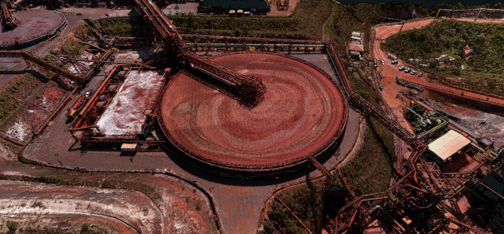
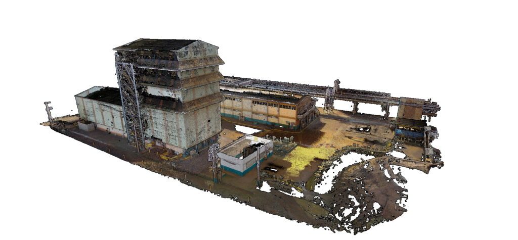
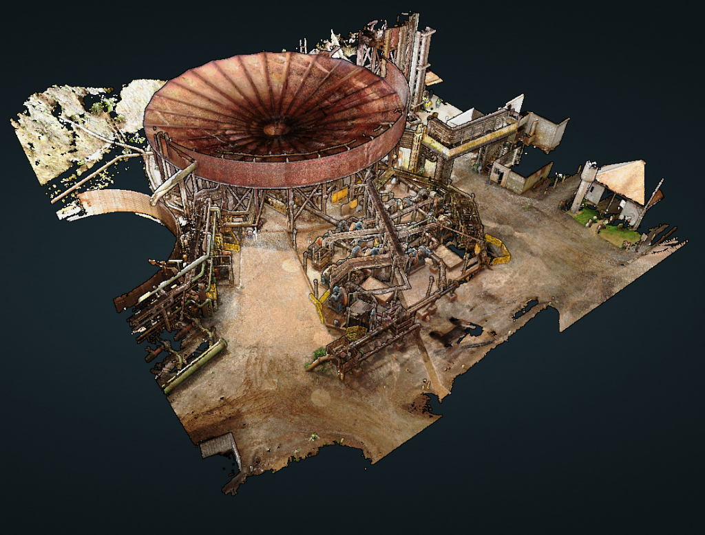
Reality Capture aims to digitize objects or an area using LIDAR – Light Detection and Ranging or UAV – Unmanned Aerial Vehicle (Drone) technologies and present it in 3D visual image.

Advantages of digital industrial plant modeling

Reality Capture
BRASS has a specialized and dedicated team for Reality Capture, performing the acquisition, processing and post processing of point clouds.
Acquisition
Performed with a large number of picture shots along the object of interest, which guarantees better accuracy and quality of the final product.
Processing
Registration and alignment are performed to create the real coordinate.
Pros Processing
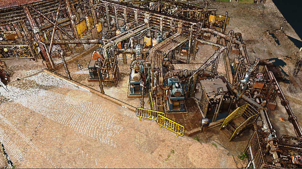
It conducts counts with the classification of the cloud by disciplines and identification of the assets that are extracted from the point cloud to guarantee the quality of the information and support the engineering with the best visualization of the assets found in the industrial plant.

Precision of Reality Capture
| Level | Application | Drone | Terrain |
|---|---|---|---|
| Informational Assistance in Basic Projects | Orthomosaic | Precision: 10 to 30 cm | Informational Assistance in Basic Projects |
| Intermediate precision capture | As-Built, Maintenance, Simulation, BIM – Building Information Modeling, etc | Precision: ≈ 10 mm | |
| Advanced precision capture | Reverse engineering of parts and expediting | Precision: ≈ 5 mm |
